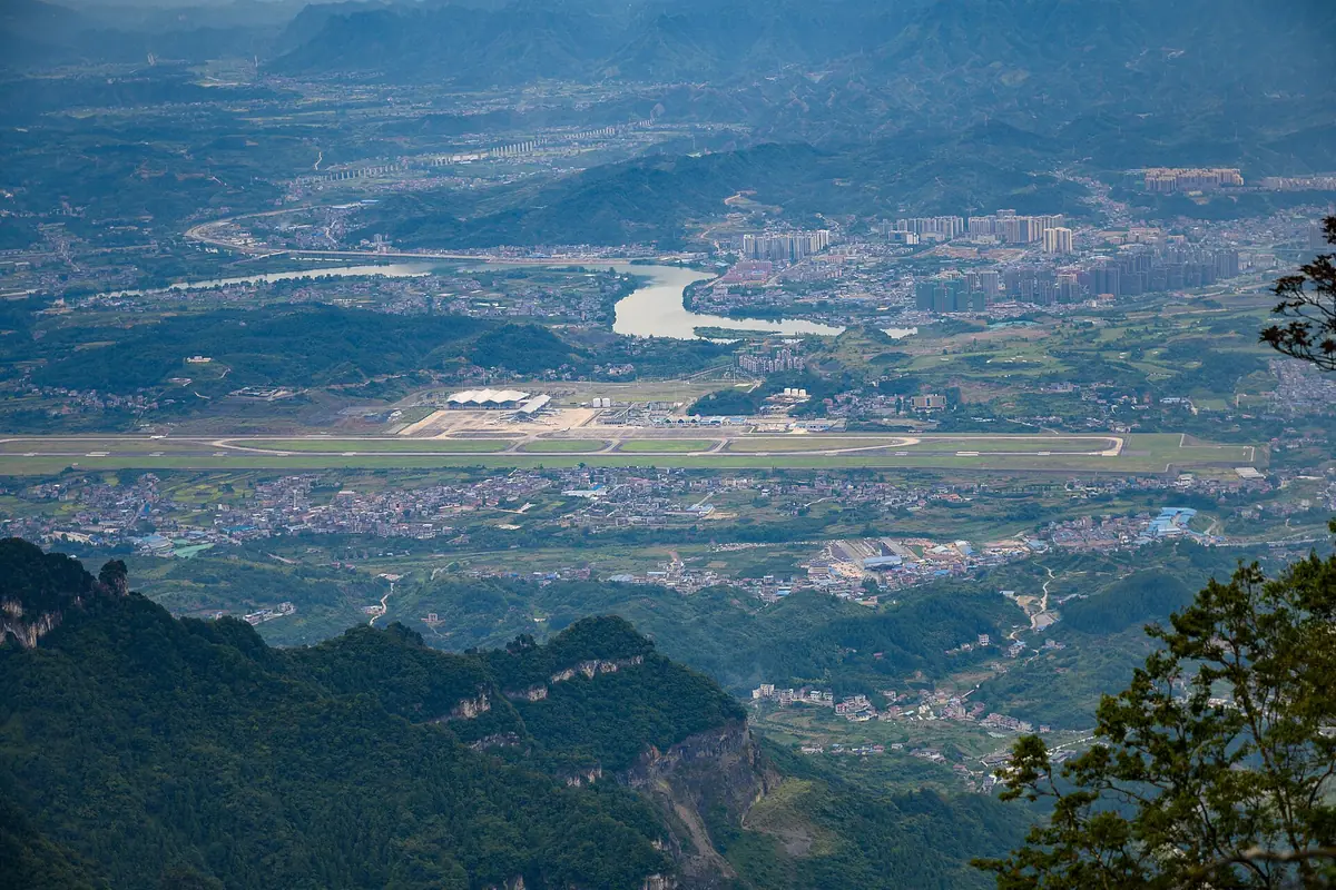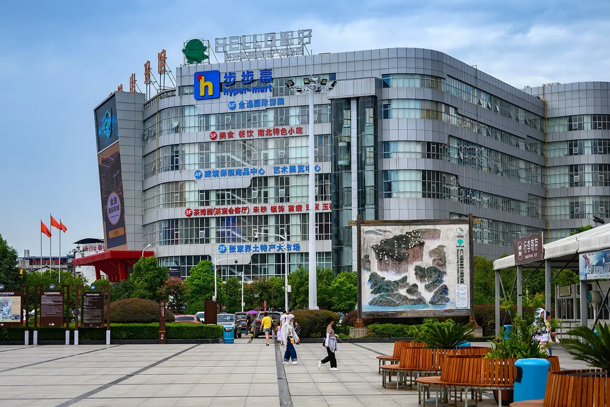
Zhangjiajie weather planning starts with a distinction between the city and the mountain sightseeing areas. A forecast for the hotel district cannot fully describe a ridge, an exposed viewing platform or a damp forest path. We recommend placing the main landscape day within a stay that has some flexibility, then checking the selected area’s forecast and operating notice. The provincial tourism source below provides historical background rather than a guarantee of views or a current climate normal.
Use the elevation difference to plan
Hunan’s official tourism page describes the city at about 183 metres and the sightseeing area at roughly 1,000 metres. It also notes that July showers can make paths slippery and that fog occurs in the mountains. We would use those observations to pack a spare layer and suitable footwear, not to calculate an exact temperature for every viewpoint. The page publishes several rounded annual temperature descriptions, so the fact table below identifies one as approximate and avoids pretending they are a single precise dataset. Current mountain conditions should determine the walk and transport choices on the day.
Spring: build a route with more than one viewing chance
For a spring visit, we suggest allowing a second opportunity to see the main sandstone landscape. A viewpoint can be rewarding in changing cloud, but visibility may also disappear for a while. Choose a route that has a clear shorter version and confirm the way back before committing to the longest section. A light waterproof layer is useful for moving through the day without depending on an umbrella on every stair. If photography matters, explain whether you want broad views or closer forest details. That helps choose an alternative when cloud changes the landscape rather than removes every possible subject.
Summer: manage wet paths and the day’s effort
The provincial guide specifically mentions July showers and slippery mountain paths. We recommend shoes with dependable grip and a route that leaves time for careful walking. Do not use a cooler mountain temperature as a reason to underestimate the effort of repeated stairs. Keep drinking water and a rest break in the plan, and confirm the operating arrangements for any lift or cableway you intend to use. A severe weather notice can affect more than walking comfort. If an activity cannot run, choose the appropriate alternative instead of forcing the group into a longer route to preserve the original timetable.
Fog requires patience and a decision point
A mountain day should include a point at which you decide whether to wait, change the sequence or shorten the route. We would not guarantee a clear panorama simply by selecting an early start. Weather and visibility can vary across the park, while moving between areas consumes time. A guide or the visitor service can help interpret the operational situation, but the group’s energy and onward commitments still matter. Give one important viewing area more room rather than trying to visit every distant platform in poor visibility. Close views of rock, vegetation and forest paths can make a different, worthwhile chapter.
Autumn: protect the main landscape day
For visitors focused on walking and viewpoints, autumn is a season worth discussing, while still checking rain and temperature for the chosen week. We suggest keeping the landscape day able to exchange places with a lighter day where reservations permit. The provincial source recommends April and October among its seasonal options, but that recommendation does not guarantee clear skies or low visitor numbers. A good plan should say which part can move and which transport booking is fixed. For a short stay, identify the main priority and leave optional areas genuinely optional rather than assigning every one a mandatory slot.
Winter: ask about the actual route
The official tourism page notes winter snow and colder conditions at higher elevations. We would check the day’s trail, cableway and attraction notices rather than promise that the full regular route remains available. Warm gloves and a layer suitable for pauses deserve attention, particularly when the group will spend time waiting outdoors. Snow photographs should be treated as a possible seasonal experience, not a booked outcome. A shorter accessible route can be the right choice after an operational change. Travellers whose main aim is a long uninterrupted mountain walk may prefer discussing another season.
Separate Wulingyuan from Tianmen Mountain
A holiday can include both areas, but they have different routes, admissions and operating arrangements. We recommend checking the forecast and notice for the actual attraction named in the itinerary, not only a general Zhangjiajie symbol. Moving the two visits can help when one area’s conditions are less suitable, provided the booking permits it. The trip should leave enough time for transfers and the group’s walking pace. A cableway ticket does not remove all stairs or guarantee a particular view. Discuss the chosen route in terms of how the day will feel, rather than treating transport infrastructure as a promise of effortless sightseeing.
Make the backup useful to your group
Before setting out, choose the shorter route, meeting point and a practical second activity. A nearby meal or quieter local chapter may be more useful than a distant replacement requiring another long transfer. Our departure suggestions and buffers are planning recommendations, not measurements of queue length. Review rain, wind, temperature and the operator’s notice together, then decide whether the original route still suits everyone. A well planned Zhangjiajie stay gives the landscape time without asking the group to continue an uncomfortable or unavailable activity merely because it appears on a printed programme.
Official facts for your planning
| Planning detail | Verified information |
|---|---|
| Source scope | Hunan provincial tourism background published in August 2022; not a recent normals table. Official source |
| City elevation | The source describes the city at about 183 metres. Official source |
| Sightseeing elevation | It describes the mountain sightseeing area at roughly 1,000 metres on average. Official source |
| Precipitation background | The source gives an approximate annual rainfall of 1,400 mm. Official source |
| Sunshine background | Its rounded long term sunshine description is about 1,440 hours annually. Official source |
| July path conditions | The official guide notes showers, mountain fog and slippery paths in July. Official source |